News & Events
Click here to see all news and events.
MAPS 2025 ANNUAL MEETING
When: Saturday, July 26, 2025 Time: 9:00 AM – 11:00 AM Where: 228 N Main Street | Cheboygan, MI GREAT DOOR PRIZES! Including boat rental from Howe… Read more “MAPS 2025 ANNUAL MEETING”
Upcoming Webinar: MI SepticSmart
This September 16, 2024, from 9am to 10am — The Michigan Department of Environment, Great Lakes, and Energy is hosting a Zoom webinar to help MI residents… Read more “Upcoming Webinar: MI SepticSmart”
MAPS 2024 Annual Meeting
The MAPS 2024 annual meeting was concluded Tuesday, August 20th, at 6PM at the Cheboygan Public Library. This year’s speakers included: And the evening was ended with… Read more “MAPS 2024 Annual Meeting”
Get Involved

Volunteer
There are many ways to get involved! Volunteers help us with:
- Boat Washes to raise the awareness of Invasive Species and how to keep from spreading them.
- Routine Water Quality Monitoring to check levels and to stay within sound parameters.
- Surveys for Invasive Species spread through regular surveying of the area.
- Revetment work on inlets and outlets.
- Fund Raisers to pay for scientific surveys to keep us on top of our Lake’s Health issues.
- Information Distribution to raise awareness using a variety of methods.
MAPS is looking for new board members who love Mullett Lake!. If you are interested in helping to govern MAPS and protect Mullett Lake, home to 1150 and visited by thousands more, please contact us at: mullettlakemaps@gmail.com.

Membership
Your contributions support:
Monitoring of water quality
Shoreline surveys for sewage, erosion and greenbelts
Lake surveys of invasive species
Fish stocking for sport fishing
Stream bank erosion control and clean-up
Educational programs and newsletters
Greenbelt projects to control erosion and stormwater runoff
Sheriff patrols to encourage boating safety


Join or Donate
MAPS is a 501(c)(3) organization, funded by people and businesses committed to the well-being of Mullett Lake for many years to come.
We accept donations by PayPal or mail.
Mail to:
M.A.P.S.
P.O. Box 517
Topinabee, MI 49791-0517
OR

Our Organization

Contact Us

Board of Directors
President: Jim Leh, Longpoint
Vice President: (Vacant)
Secretary:
Treasurer:
Herm Boatin, Scott’s Bay
Deb Chapman, Scott’s Bay
Pete Morse,
John Everett D.O., Silver Beach
John Gannon, Stony Point
Graham Tillotson, Lakeshore Topinabee
Patti Murdock, Howe Marine – Indian River
John Kyle, Longpoint
Jill Terlep, Scott’s Bay

Bylaws
MAPS is a non-profit Michigan Corporation formed pursuant to the provisions of Act 162 of the Public Acts of Michigan of 1982.
Research & Resources
Fish, Fisheries, Watershed, & More

Fisheries, Fish, & Watershed Management
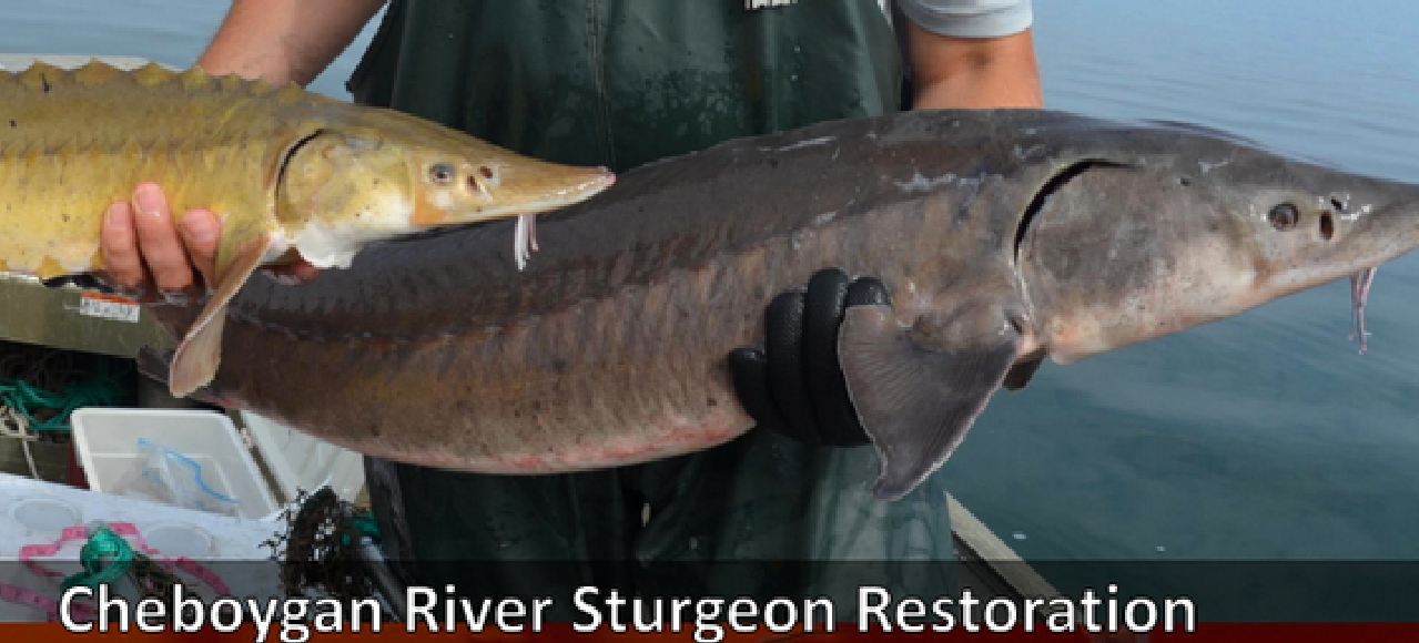
MAPS, Sturgeon for Tomorrow, and MSU planting Sturgeon in Mullett Lake 8/25/18
- Status Report of the Fisheries Resource in Mullett Lake. MDNR: 2017
- Mullett Lake Watershed Protection Plan.TOMWC: 2002
- Creel Survey Report for Mullett Lake. MDNR:2010
- Walleye Dynamics in Michigan’s Inland Waterway. MDNR: 2014
- Michigan’s Lake Sturgeon Rehabilitation Strategy. MDNR: 2012
- Cheboygan River Assessment. MDNR: 2015
- Mullett Creek Watershed Management Plan
- Sturgeon Distribution and Status in Michigan. MDNR: 2006
- Management Plan for Lake Sturgeon in Black Lake. MDNR: 2016

Mullett Lake’s Fish Species

Elements of a Healthy Fishery
Our Lake
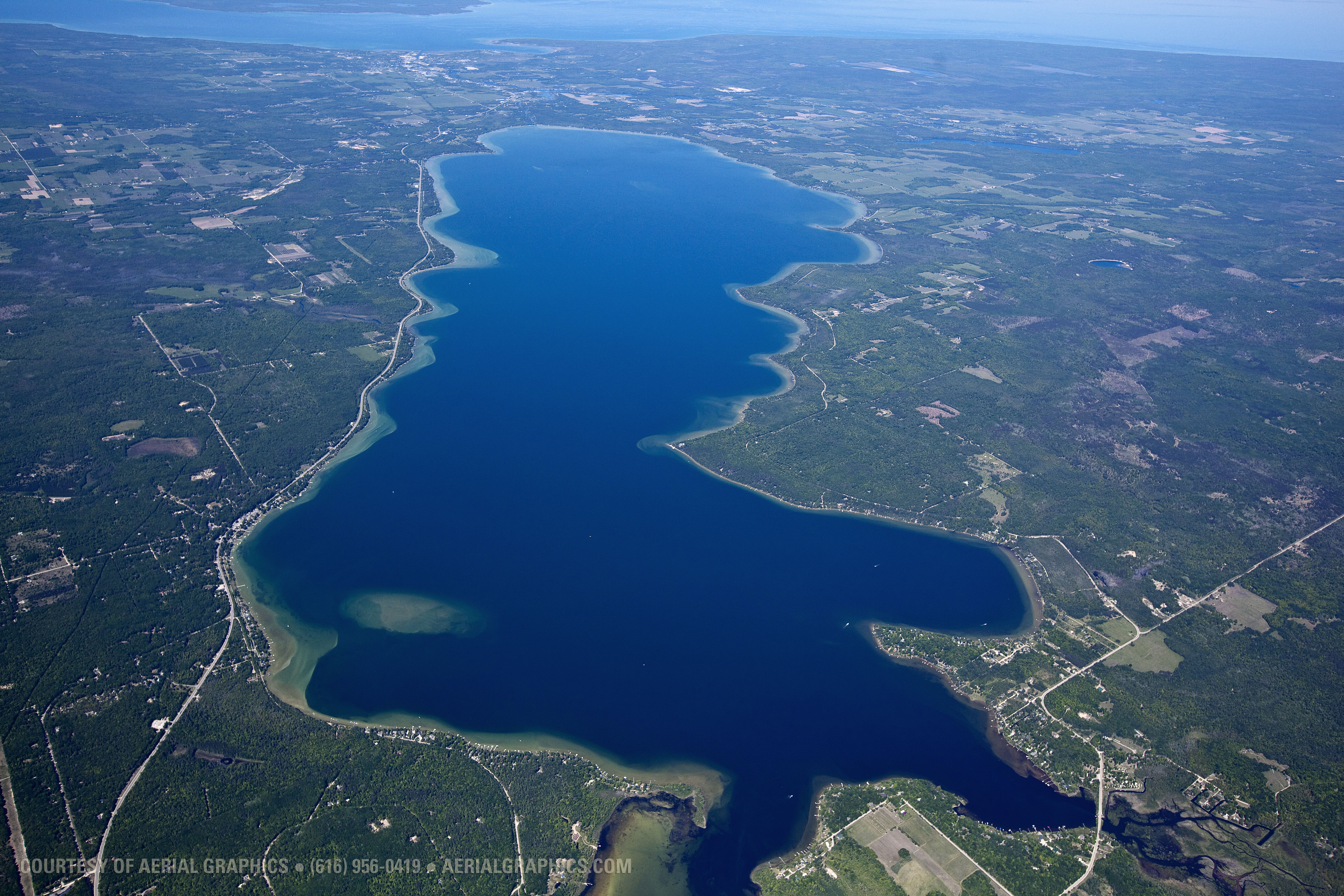
“Many words come to mind to describe Mullett Lake: immense, fantastic, deep, enchanting, beautiful, vibrant, and diverse.”
–Excerpt from Tip of the Mitt Watershed Council 2009 Report
Key Features:
 4th largest of 5 ‘Giant’ Lakes in Northern Michigan
- 17,000+ acres of surface area
- Depth of 144 feet
- 1000+ homes on its shoreline
- Approximately 39 species of fish (according to 2017 Survey)
A lake is a massive ecosystem that requires balancing nature with human enjoyment—that is where the Mullett Lake Area Preservation Society (MAPS) plays a role, along with a number of other agencies who assist us in translating the science of water quality and shoreline integrity into sensible application by property owners.
An ecosystem of this size is NOT an island. It requires monitoring of the interaction between tributaries and rivers that Mullett Lake flows into: Cheboygan River, Pigeon River, to name a few.
Our Challenges
Invasive Species
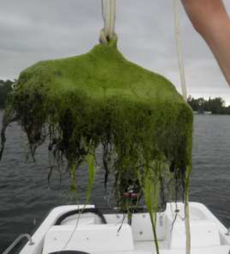
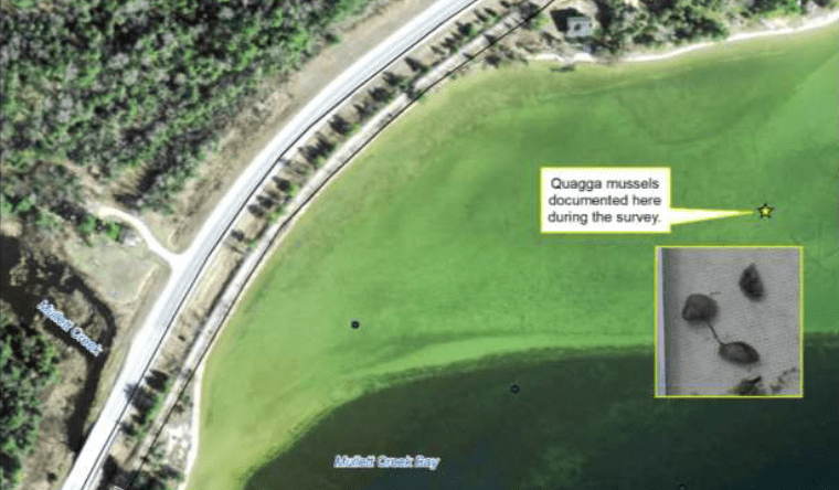
Plants or animals that are non-native to the area are invasive species. Their introduction is likely to cause harm to the environment, local economy, or human health.

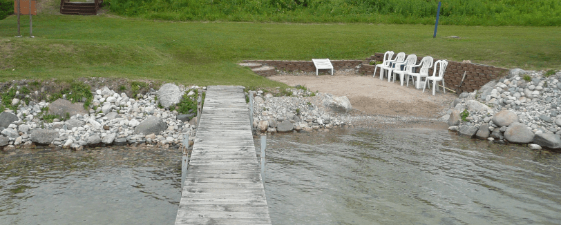
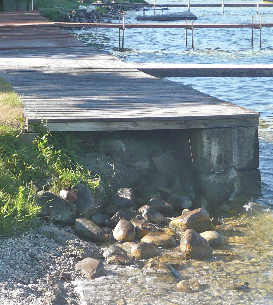
Shoreline Alterations
Shoreline Erosion
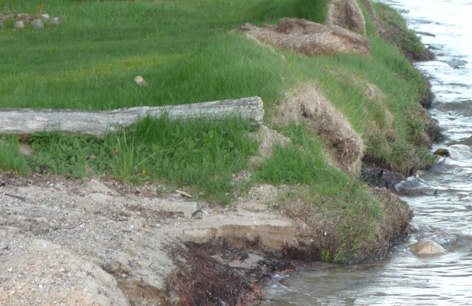
Online Soil Erosion Assessment Tool
Stormwater Runoff

Boating Safety

Our Initiatives
Focus on best practices
Clean Boats = Clean Waters
MAPS works with other organizations in the Mullett Lake Watershed to provide Boat Washes and education
MI Natural Shoreline Partnership
MI Shoreline Stewards

The Michigan Shoreland Stewards Program provides recognition for lakefront property owners who are protecting inland lakes through best management practices on their property.
Water Quality Monitoring
 3 forms of measurement:
- PH Balance – State Law mandates between 6.5-9.
- Dissolved Oxygen – State Law mandates 5-7 parts per million
- Conductivity – indicator of water pollution
From the Mullett Lake Shoreline Survey of 2008 conducted by Tip of the Mitt Watershed Council:
“Data collected during the shoreline survey indicate that human activity along the shoreline of Mullett Lake is negatively impacting the lake ecosystem and water quality.”
Fishery Management
